Draw Zone or Trigger Line for Radar
You can draw zones or trigger lines for radar, so if an object is detected to have crossed the trigger line or entered the area shaped by the dual-trigger line or zone, the event and alarm will be triggered.
A radar has been added to the area and map. Refer to Add Security Radar to Area for Current Site and Add Hot Spot on Map for details.
-
In the top left corner of Home page, select
 > Visual Map > Map > Map Settings.
-
Select a zone drawing method in the tool bar in the upper-left corner of the
map.
Figure 1 Tool Bar for Drawing Zone

 Draw Trigger
Line
Draw Trigger
Line-
A trigger line is a virtual line drawn in the radar's detection area. An event or alarm will be triggered if an object is detected to have crossed the line. Click to draw a trigger line in the detection area. Select a direction for the trigger line. The three directions indicate three directions to which a detected object crosses the line. You can drag the anchor (the red point on the trigger line) to reshape the trigger line, or drag the trigger line to move it to another place.
Note:No more than 4 trigger lines can be drawn.
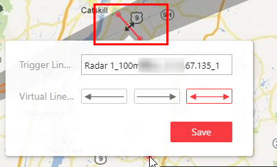 Figure 2 Trigger
Line in the Detection Area
Figure 2 Trigger
Line in the Detection Area  Draw Dual-Trigger
Line
Draw Dual-Trigger
Line-
A dual-trigger line consists of 2 virtual lines drawn in the radar's detection area. Generally, it is used to mark an area in the radar's detection area. An event or alarm will be triggered if an object is detected to have entered the area shaped by the dual-trigger line. Click to draw a dual-trigger line in the detection area. Select a direction for the trigger line. The three directions indicate three directions to which a detected object crosses the line. You can drag the anchor (the red point on the trigger line) to reshape the dual-trigger line, or drag the dual-trigger line to move it to another place.
Note:Only 1 dual-trigger line can be drawn in the radar's detection area.
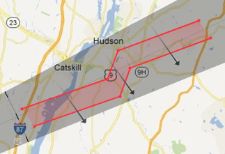 Figure 3 Dual-Trigger Line in the Detection Area
  Manually Draw
-
You can draw any shape for the zone using this method.
 Zone
Segmentation
Zone
Segmentation-
Split a zone into two smaller zones by a line.
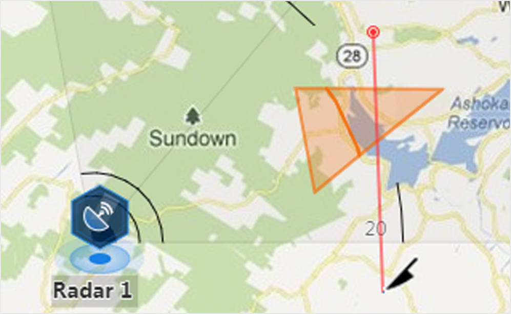 Figure 4 Zone
Segmentation
Figure 4 Zone
Segmentation  Distance
Segmentation
Distance
Segmentation-
Split a zone into two smaller zone by an arc.
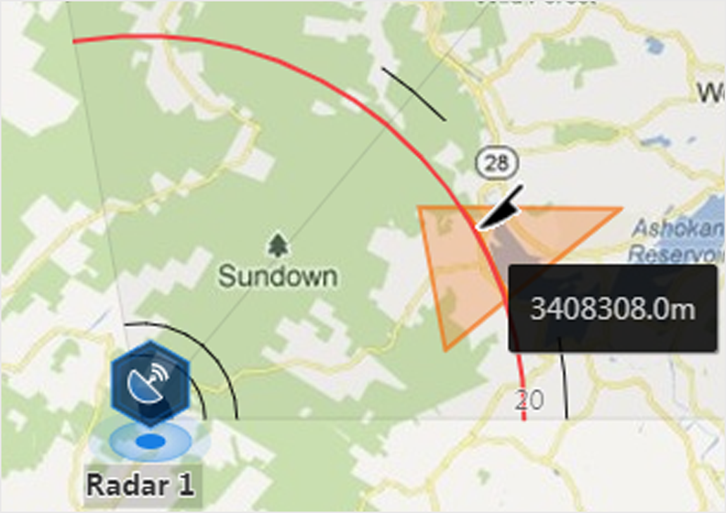 Figure 5 Distance
Segmentation
Figure 5 Distance
Segmentation